 |
| 
-
 How to useThe new tutorial video
 -
 One mapInsider knowledge, planning and safety information on the backside
 -
 The best spotson more than 50 Supertrail Maps!
 -
 The best trailsfive difficulty ratings are marked in different colours
 -
 Highlight-TrailsSpecially marked
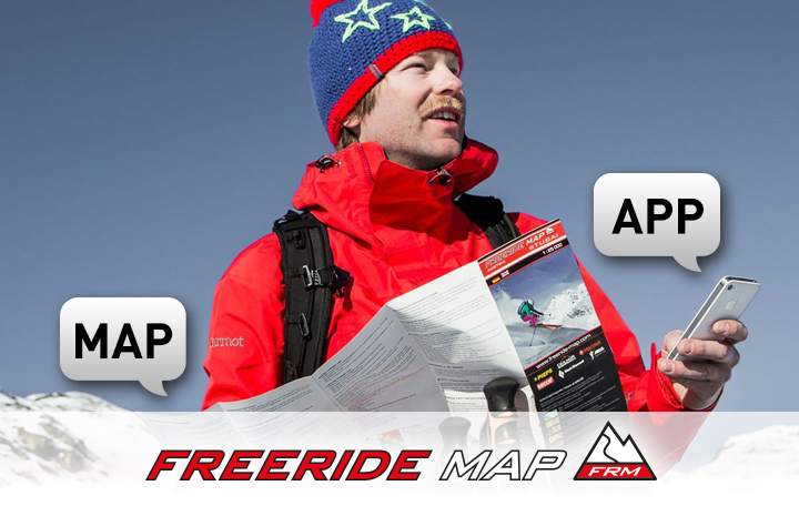
Detailed, complete and compact - the SUPERTRAIL MAP
The best singletrails in the best mountain bike spots throughout Europe! This is the simple formula of the brand new Supertrail Maps.
Insider knowledge - All singletrails in the best spots throughout Europe
Easy to use - Consistent rating of all trails in five difficulty levels for up- and downhill separately
Uniform - Research and consistent rating by especially trained authors
User-friendly - Specially marked highlight trails
Detailed - 1:50,000 includes all relevant information
Indestructible - printed on water and tear resistant plastic
Compact - Format 10 x 15 cm fi ts all pockets
International - all maps bilingual
CLICK. PLAY. RIDE.
It's that simple. We'll send you right onto the trail.
On supertrail.guide, our new online platform, we successively present exciting mountain bike destinations in elaborately produced videos. All spots and all tours are filmed from different perspectives with hand, helmet and drone cameras. This gives bikers a realistic and comprehensive impression of the character of the trails and the landscape during the planning phase.
Here it goes on direct way to Ascona-Locarno, Davos, to the Maremma and to Zermatt.
Video
Video instructions for the direct trail to biker heaven.
Because no biker should have to burn up road!


Map Overview
Voices
Supertrail Maps are always a great help to me on spontaneous trips to the mountains. I save lots of tiresome research and don’t have any nasty surprises on the trail. They are also highly recommended for race preparation. If someone wants to check out the area in advance, they will find all the trails here which could be part of the next Enduro race.

Supertrail Map make it easier for me to choose a route when I’m out on the terrain. The colour indicators make it quick to decide which trail has the appropriate skill requirements. A scale of 1:25000 would sometimes be helpful, and the app can help here too.

I love the unknown, scouting out new areas and preparing new trails. But often the trail indicated on a map is in reality a forest road, the planned descent can be technically too big a challenge, or the “perfect traverse” involves an endless up and down. That would make even the most beautiful tour into a disappointment. If you want to be sure, ask the locals and the experts. Or else look up a Supertrail Map - because locals and experts have worked on them together. Here at a glance you have tours and trails suitable for bikers, and where the long uphill will be rewarded with a genuine descent. I like trails that wosupertrailmaprk out right almost better than adventurous trails!

I think it’s great that you can see all the highlight trails at a glance. This means I can plan out fantastic tours to the desired length, metres of ascent and descent, and difficulty grade.

Supertrail Maps are the perfect biking maps for me, and the first thing I reach for when planning a bike trip. All the highlight trails of a region can be immediately distinguished, and the difficulty grade of each part of the route is given, so there are rarely any unpleasant surprises.

As a geographer I'm big into maps. And with the Supertrail Maps you don't just find your way around the territory, you can also work out realistically if you'll be able to go on the routes shown. These maps are a wonderful help for me, whether I'm planning a photo shoot, stories for the magazine or just want a bit of fun on the trail.

When I'm planning a bike trip to a region I always start with the Supertrail Maps. I can immediately spot the highlighted trails and their level of difficulty by their colour coding. This gives me a broad impression of the region. To help me plan my Women's Camps professionally I also use a 1:25,000 map to get a more detailled view of the area.

MAP CHANNEL
FREERIDE MAP
Become a fan!
Site developed by ALPENBLICKDREI